


")
")
I have gps coordinates in WGS84 format with latitude and longitude coordinate pairs, ex. 57.900, 12,05, ex. 5.920, 12.048.
I have a svg map of scandinavia, which consists of individual shapes.
Is there a way to create a grid of coordinates and overlay it over the image.
So that my example coordinate would be in the same place in my svg map as in google maps?
I am not sure but perhaps I should start by creating a bounding box with the outer bounds of my coordinates?
Then create a subgrid. I have looked at https://en.wikipedia.org/wiki/World_...c_System#WGS84 but not sure how to implement this.
I want to use real coordinates and place them appoximately in the same position in the svg map as in a proper map.
Any suggestions on how to proceed?
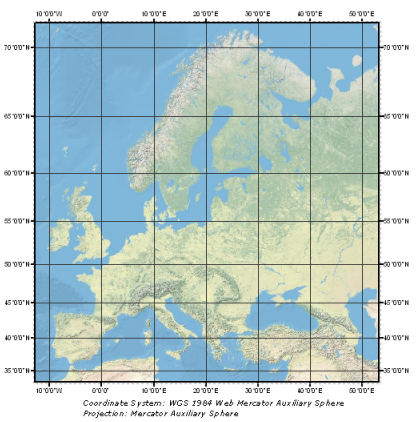
https://desktop.arcgis.com/en/arcmap...ED8009-web.png
I want to use real coordinates for northern europe like in the above image?


 Reply With Quote